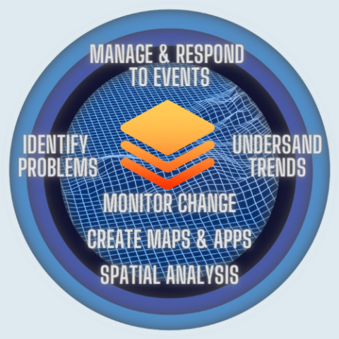
Geographic Information Systems (GIS) combine computer hardware, software, and data for capturing, managing, analyzing, and displaying all forms of geographic data. Data is represented as layers within a Geographic Information System.
Image
GIS is used to enhance decision making and provide maps, analysis and information to the public and County agencies, including, but not limited to:
- Assessor's Office
- Board of Supervisors
- Elections
- Health and Human Services
- Office of Emergency Services
- Planning and Community Development
- Public Works
Please submit GIS/Mapping requests HERE!
GIS Disclaimer
All information provided by Glenn County, on its web pages is made available for the convenience of interested persons. While we believe this information to be reliable, human or mechanical error and modification remain a possibility. The County does not guarantee the accuracy, completeness, timeliness, or correct sequencing of the information. Neither the County nor its sources of information shall be responsible for errors/omissions, the use or results obtained from the use of information.
I understand the terms and conditions above, TAKE ME TO THE GIS WEBSITE!